Technology is significantly blurring the lines between our physical reality and a digital one. Advances in computer science mean that every day, human functions continue to be redirected to machines, whether through AI (artificial intelligence), robotics, the Internet of Things (IoT) or 3D printing.
Further down the advanced tech rabbit hole is how genetic engineering and quantum computing will transcend everyday life, but that’s a conversation for another day. Today we explore the potential of drone footage in custom 3D PC rendering.

What is drone rendering?
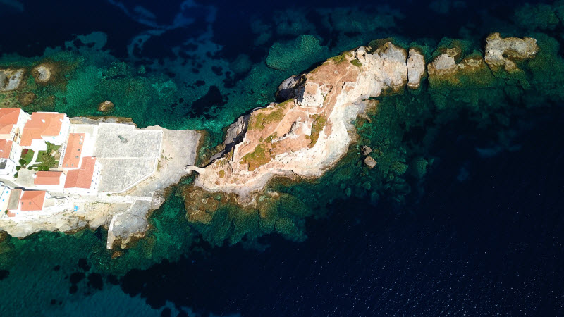
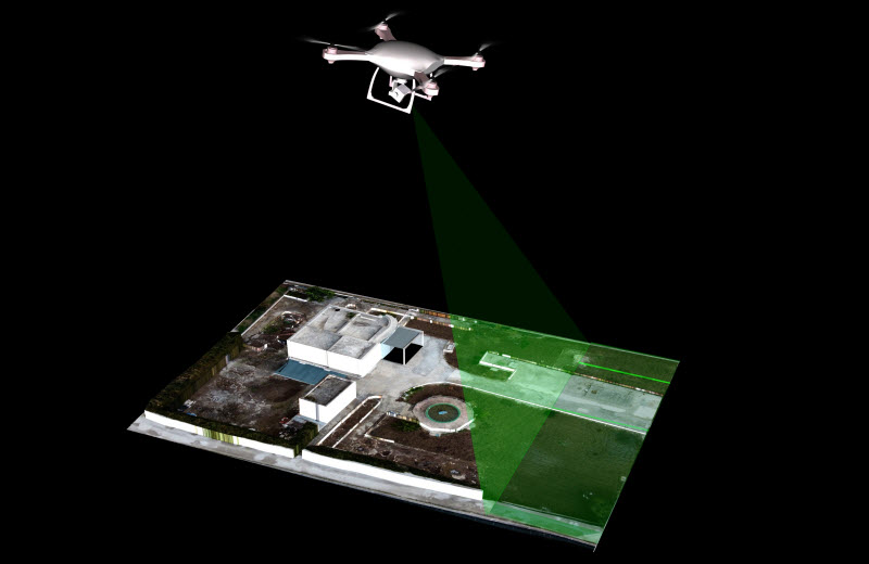
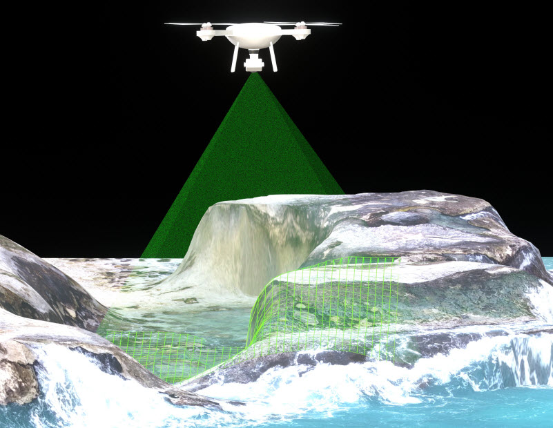
Drone rendering comes down to mapping terrain in a 3D environment.
Sounds easy enough?
Not really. The process involves building a custom 3D PC that can instantly take and render 3D topographical maps. Images captured from drones are fed into a rendering computer to create a 3D model. This process requires an incredibly high-spec, ruggedised machine capable of withstanding environmental factors whilst operating in the field.

What can drone rendering do?
The opportunities are endless, but the price can be high.
Simply put, think about looking at a furniture e-commerce website. The images of the furniture in their beautifully styled rooms are all 3D rendered images. When you consider the research that has shown that humans can process images 60,000 times the speed they can understand text, you can understand why e-tailers choose to make this investment instead of the time-taxing process of having staff physically move and re-style a multitude of rooms.
Now imagine the same process capable of capturing and rendering vast areas of topographical, geographic or meteorological mapping information in real-time and 3D.

The future of drone rendering in 3D
Traditionally, digital maps have been created by manually capturing many images of a particular area plus detailed information within specific data points. As you can imagine, this is an incredibly costly and labour-intensive exercise.
With effective drone rendering using a custom-built PC, this entire process becomes digitised in 3D in real-time.
The solutions this type of computer science and technology offer industries like logistics, the defence force, surveillance operations (like anti-poaching initiatives) and supply chain management will not only change the game, they will define them.
“A PC capable of this type of processing capacity hasn’t been built yet. It requires a custom build, and the parts and power requirements for it to be operational in the field puts a PC of this calibre and spec far ahead of its closest competitor from a pricing perspective,” says our computer expert, Michael Boaden.
But evolution is necessary.
“Until now, some computer scientists are simply wrapping computers in foam to ruggedise them. This option is not sustainable, and as experts in custom PCs, we need to be doing more,” says Michael.
We are interested in exploring drone rendering, so if you would like to have a chat with us, please contact us.
Read more custom-built computer articles.
INDUSTRIES WE SERVICE
2/63 Commercial Drive,
Shailer Park QLD,
4128
